Static scans to
3D Plans!
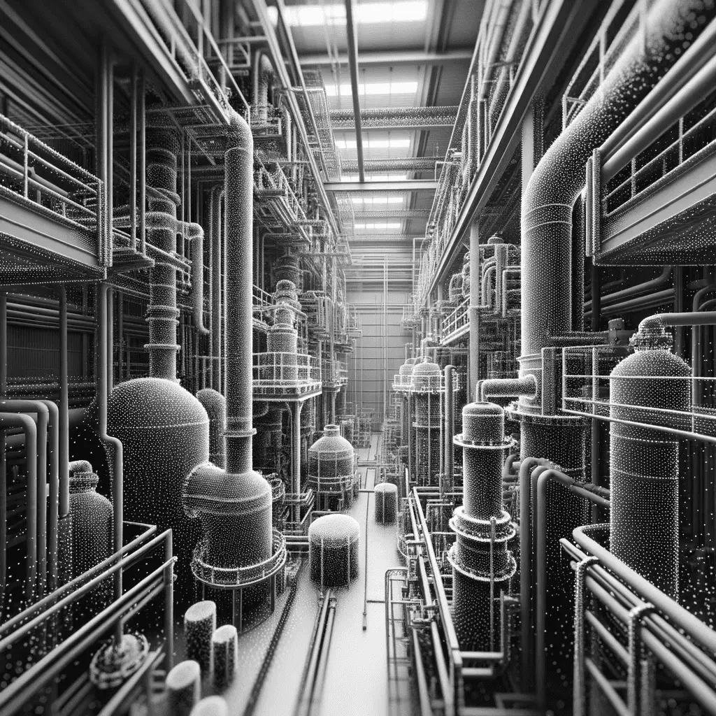
At Geoswift, we specialize in processing data from static terrestrial scanners. Our focus is on taking the point clouds turning them into precisely aligned and geographically accurate data sets.
We understand the intricacies of registering multiple scans, ensuring that each point in the cloud is perfectly matched and aligned with its counterparts from other scans. This complex process results in a complete view of the scanned area.
Our work is all about precision, speed and accuracy. We don't just process data; we transform it into a reliable and detailed representation of the physical space. Whether it's for construction, land surveying or architectural projects, our expertise in scan registration and correction is your key to unlocking the full potential of your terrestrial scanner data.
